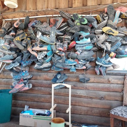
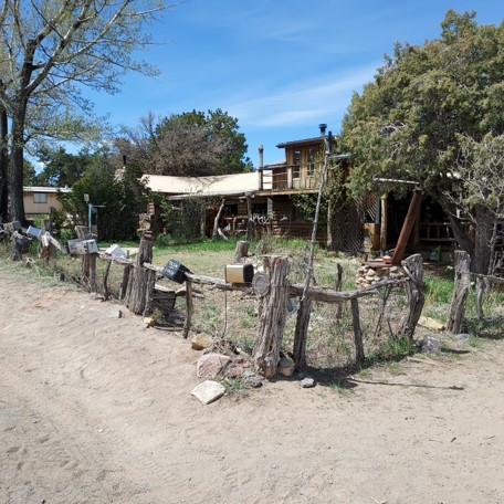
Journal Entry May 13: Mike stayed at a hostel called the Toaster House. The fence outside the house is lined with toasters. Hikers can stay for the night before moving on the next day. A wall of the house is lined with castoff hiking shoes from CDT hikers who have blown out their footwear on the trail. Mike has already gone the through one pair of shoes. The hostel has a “hiker bin” where hikers can leave food, gear, or anything useful that they don’t want or don’t have the room in their packs to carry anymore. Then hikers who need items can search through the bin and take what they want. The woman who runs the hostel used to live in Vermont. She was pretty nice and was interesting to talk to.
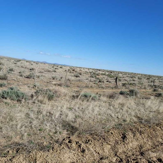
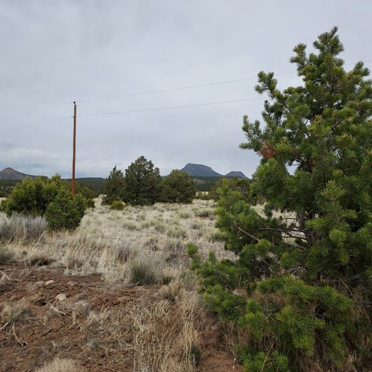
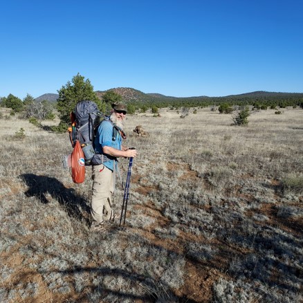
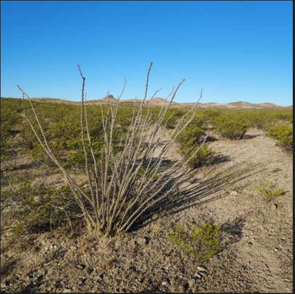
Mike has traveled over 560 miles now. Mike has climbed as high as 9687 feet so far. Mike has seen elk and lots of bear scat but no bear. The elk have always been a ways off and never close by. Mike luckily has so far not seen any mountain lions, though there are plenty there in New Mexico.
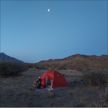
Mike took two zero days in Grants New Mexico, a small town of about 9000 people. He stayed in a motel and was happy to have a shower and sleep in a bed. He said it was nice not to stink for two days and to be able to sleep without a rock poking him in the back and to get a nice hot meal that wasn’t freeze dried.
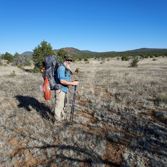
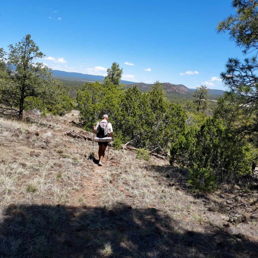
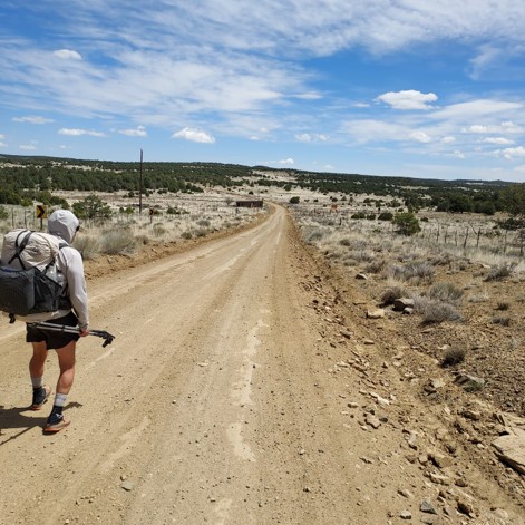
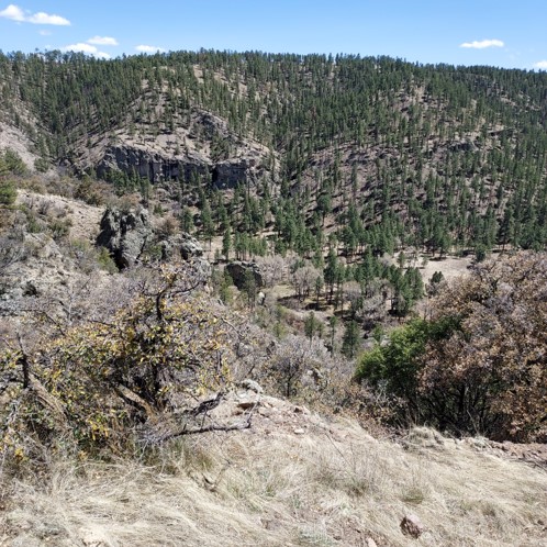
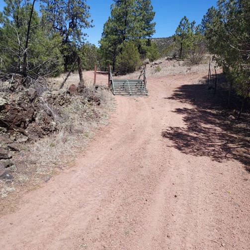
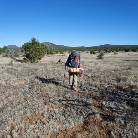
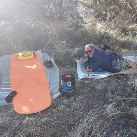
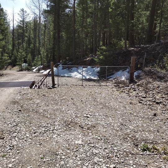
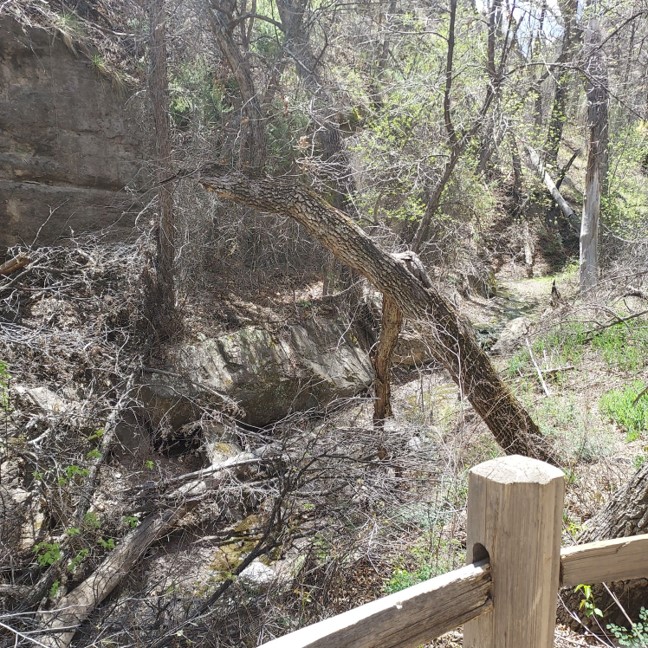
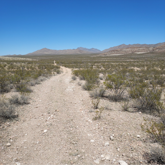
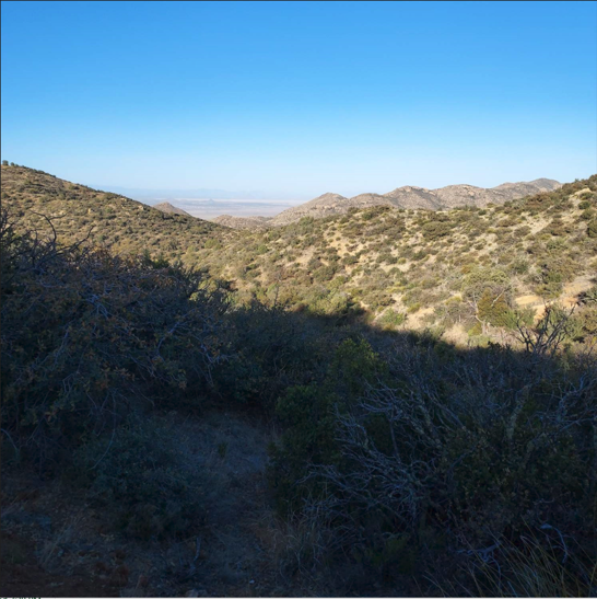
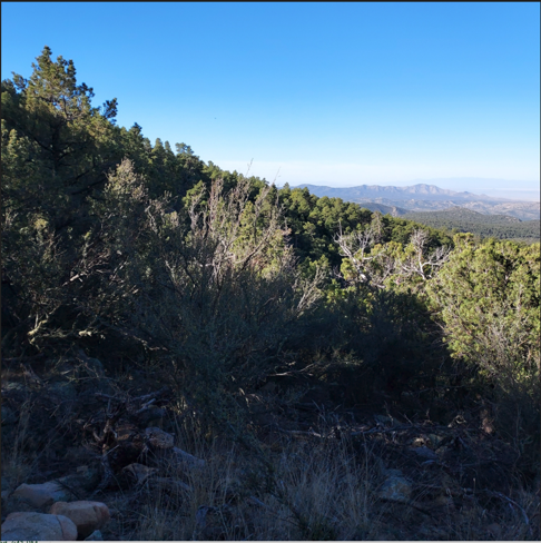
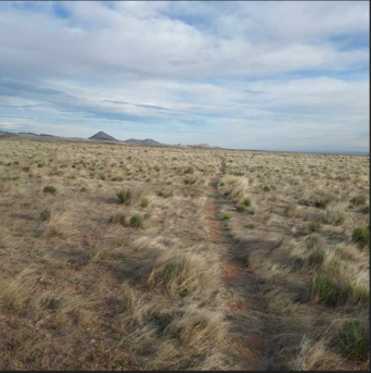
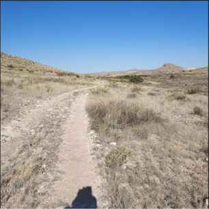
He’s met hikers from Australia, Germany and France. He met up with another hiker today at a watering hole. They chatted for a while, but had not previously crossed paths before. Mike did a recent check on snow depth in the Sierras in Colorado. The snow in some areas is chest deep. He will have to check again when he finally gets to the Colorado border. More hikers are still coming north through New Mexico. But unlike the Pacific Crest Trail, the CDT trail has less hikers traveling it and typically hikers can travel for several days without seeing another person. Mike told about hiking a very narrow trail that was carved out of the side of a steep mountain where the right side of the trail was a sheer 300 foot drop. Cell service is very spotty and Mike had to climb up a cliff to get high enough for cell service. In two days He has descended more than 2000 feet coming off a mountain and down onto a plateau. His knees are sore. He’ll have to slow his pace down for the next days hike to give his knees time to recover. Mike’s hiking partner Jack stayed an extra day in Grants to recover from a foot injury. Mike was bored and really wanted to get back on the trail where it was peaceful. So he’s hiking on his own again.


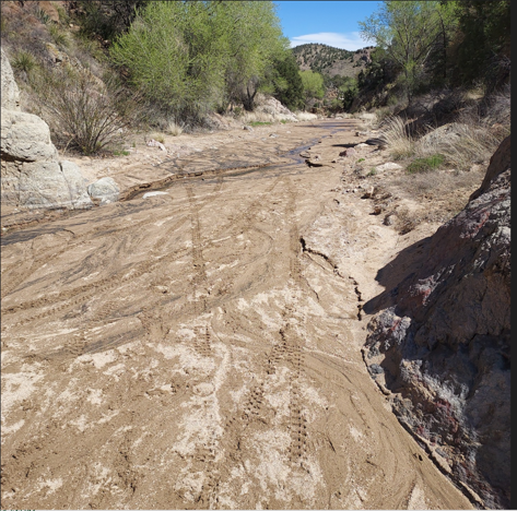
Journal Entrly May 4th: Mimbres, NM: Mike had to take an alternate route for several miles which led him along route 15, which paralleled the CDT Trail, as the Gila River was flowing too high and fast making river crossings dangerous. The FarOut app on Mike’s InReach device allows him to view all possible routes and water sources, and to check the comments board in the app where other hikers post trail and river crossing conditions. From this information Mike was able to locate alternate routes over roads which allowed him to cross the Gila River by bridge over the fast flowing parts and to locate the narrow river crossings which were safer.
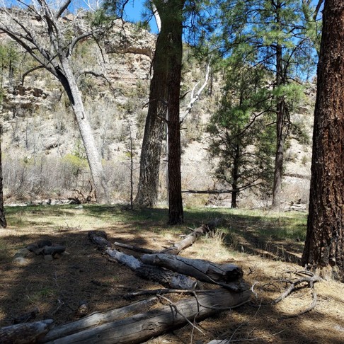
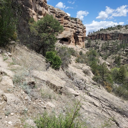
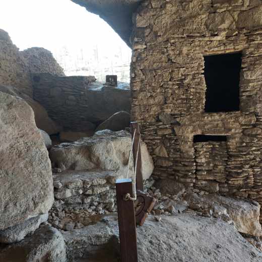
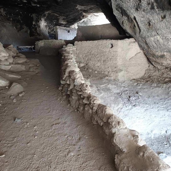
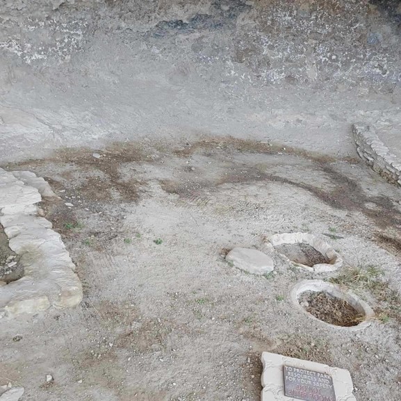
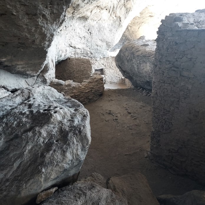
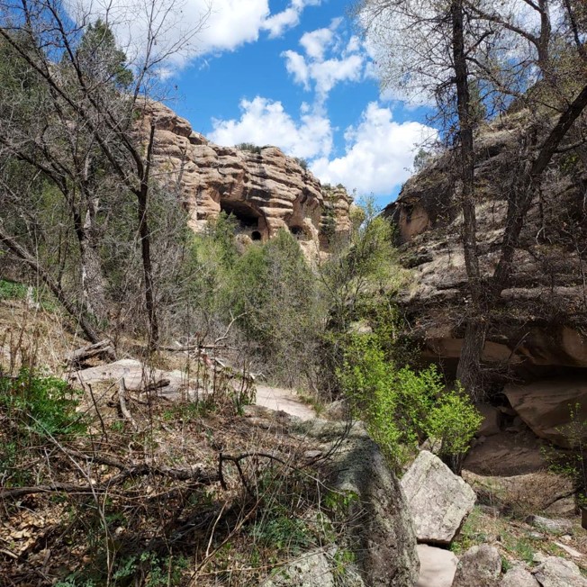
Mike arrived at Doc Campbell’s Post located within Gila Hot Springs Ranch along the Gila River in Mimbres New Mexico. He spent the night there for much needed rest. Mike has teamed up with “Jack”, an Australian hiker who has hiked the Outback and completed the Appalachian Trail. He and Jack, walked the 9 miles round trip to the Pueblo Cliff Dwellings.
Mike’s stopped at Reserve NM, a small town off of the CDT trail. Mike and Jack met a couple from Colorado along the road, who provided them a ride to town and saved them about 20 additional miles of walking. The husband was helping out hikers by being a “trail angel”, that is, he was giving hikers a lift to town and providing snacks and water to those who wanted it. Trail angels are people who assist hikers by leaving snacks, water , etc. at no cost to the hikers. They may also provide a ride to town or offer a place to sleep for the night.
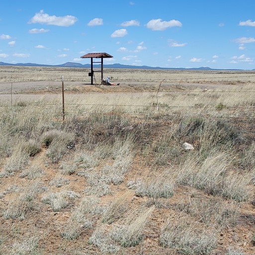
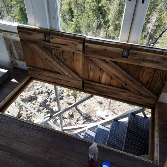
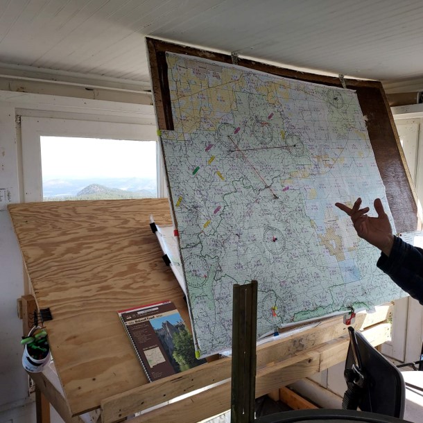
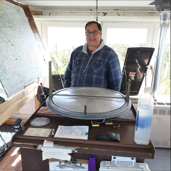
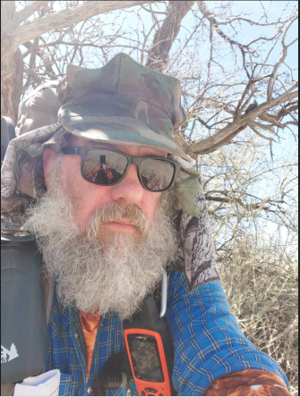
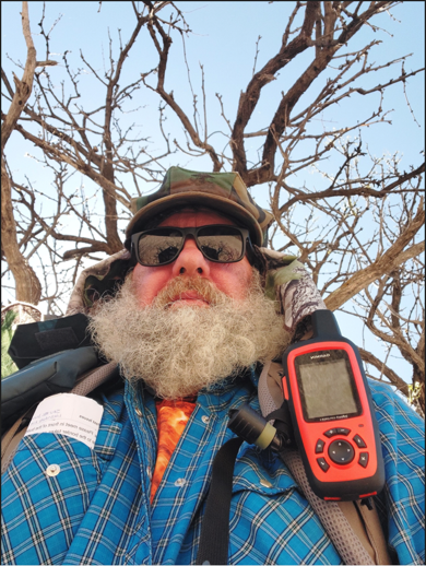
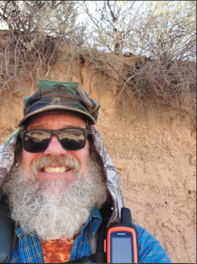
Mike & Jack hiked to the Mangas Mountain Lookout complex Historical Site Fire Tower which is still active. He took the fire watches’ photo and he explained how the whole process works. Mike sent along a photo of the guy and of the inside of the fire tower.
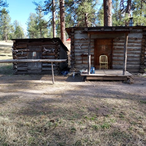
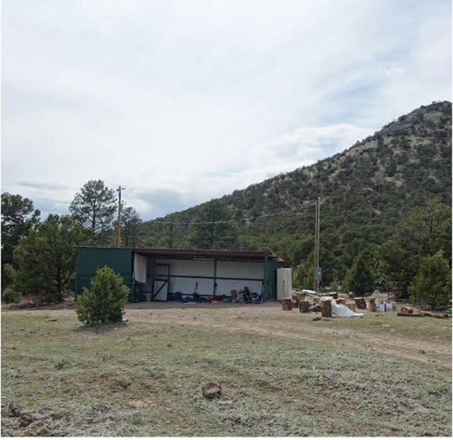
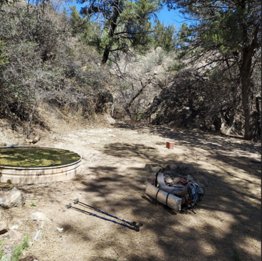
Mike and Jack then hiked to the Davila Cattle Ranch CDT Donation Based Rest Stop. The owners provided a building where CDT hikers can get off the trail to rest for a night and have a self-prepared hot meal. The owners provide the food. They also provide a hot shower, well water, and wifi. A donation of $35 dollars is suggested to off set the costs.
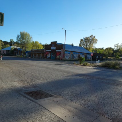
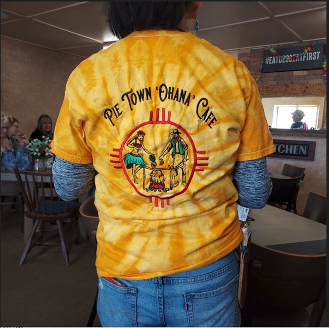
Mike and Jack then hiked to Pie Town New Mexico. Pie Town owes its name to Norman Smith, a miner and general store owner who baked pies for westbound travelers. Mike had lunch and Key Lime Pie for dessert. He said it was delicious.
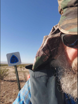
To date, Mike has hiked over 300 miles in New Mexico and is now a little more than half way through the state traveling North.

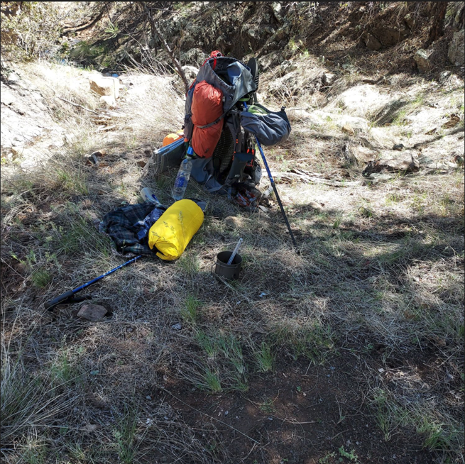


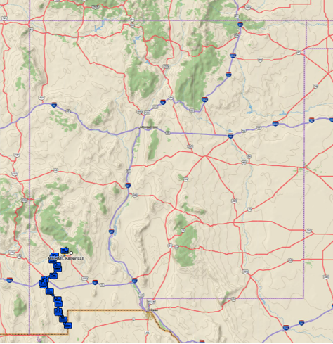
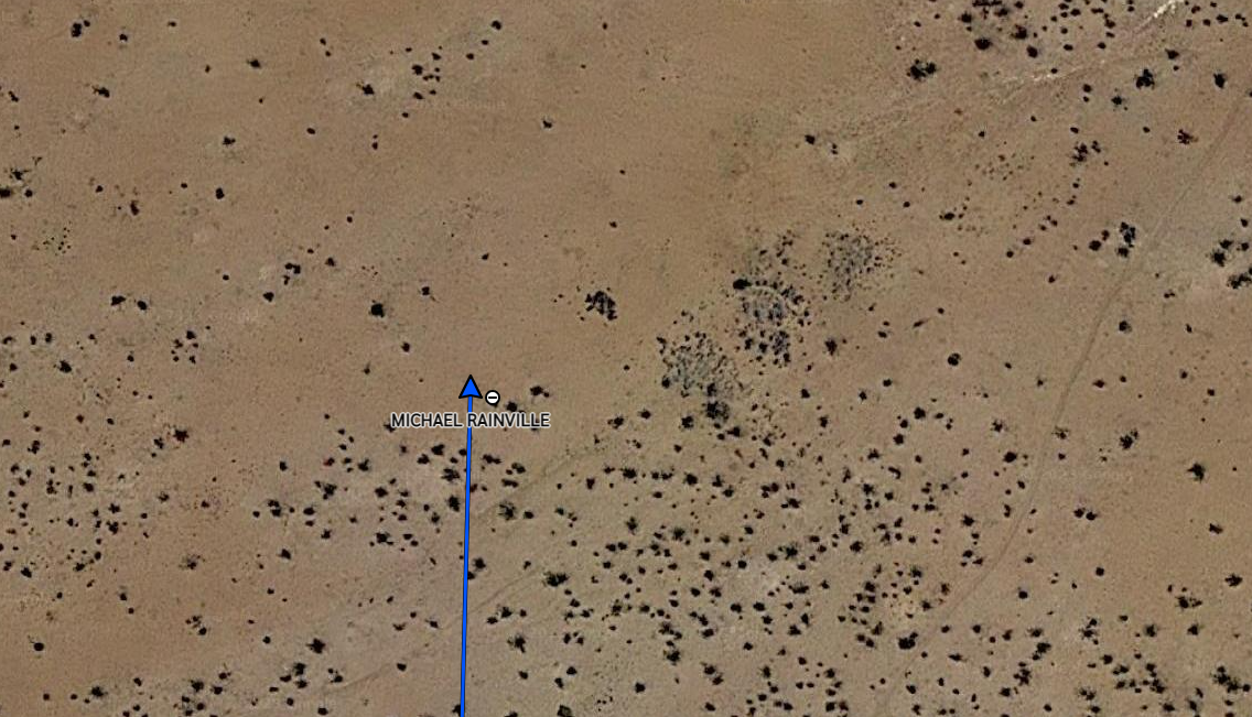
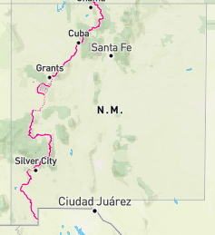
Journal Entry April 23: Mike made it to Silver City NM on April 19th. So far he has hiked 161 miles in 10-1/2 days. Mike has hiked and camped with another CDT hiker on two or three occasions but the rest of the time he is hiking and camping alone. He has been impressed with how fast some of the other hikers move. They have done “through hikes” before, and must be in top physical condition. Most of these experienced hikers that he has encountered are in their sixties and one man was in his seventies. Mike had intended to continue onto an alternate route through the Gila National Forest where he would cross the Gila River. However, USGS data shows the Gila River water level is more than 659% over normal level. This is due to snow melt in the mountains flowing down into the river. One of the photos shows Mike’s laundry in a motel bathtub on a “zero day.” The water is the color of the desert sand. Sand gets inside his clothes as well as on the outside. Mike says he’s been real happy with the adventure so far, and he says if he had to come home now, he would still be happy. But he doesn’t want to come home yet. He is still having a great time! So far, Mike has not seen any bears or mountain lions, nor any scat or tracks of them. But they are in the Gila mountains and forest. He places all of his food in a “BearVault” bear cannister (see photo) and places it away from where he’s camped. He’s not wanting any surprise encounters during the night. According to the manufacturer, these cannisters were tested with grizzly/brown bears to ensure they will withstand “most” bear encounters without breaking. Hopefully, Mike never has to find out if the claim is true. One of the photos is a map from Mike’s InReach device, showing his location in New Mexico on April 19th. He began the CDT trail in the “boot heel” of the state. He’s traveled a lot of miles so far, but still has a long way to go to get to Colorado!
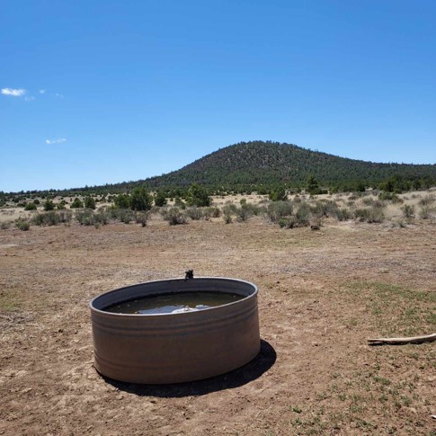
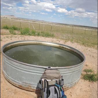
Mike has met some really nice people on the trail. They seem to look out for each other and when encountering another hiker, they’ll ask how you’re doing and if your finding water ok. In the Gila mountains, Mike will stop at any crystal clear mountain stream he comes across to stock up on water. He makes sure he stops and drinks his fill and makes sure his water bladder and water bottles are all full as well. You can’t rely on “known” water sources to actually contain water. That is, the FarOut app will locate water sources and direct you to them, but there is no guarantee there is actually water there. Another great feature of this app, is that hikers can leave messages on a “virtual message board” as to the state of the water source, before you hike all the way to it. That way you know ahead of time if it contains water and the condition of the water (i.e., algae).


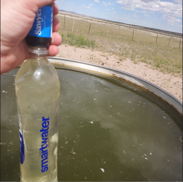
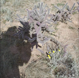
Journal Entry April 16: The CDT Trail has a motto; “embrace the brutality”. After 6 days on the trail, Mike says he understands the truth of this. The unrelenting heat (shining down from the sun, but also reflecting up from the sand), the low humidity (12% the first 4 days, then 8% on days 5 & 6) which robs your body and lungs of moisture, constant wind, water sources spaced about every 14 miles apart, some water sources are covered in algae (cow tanks: water specifically for cows) that may full of algae, as in the photo above. When that is the case, Mike puts his thumb over the mouth of the collection bottle, submerges below the algae, and fills the bottle. Then attaches the filter and turns the bottle upside down and squeezes the water into a clean bottle for drinking. It might taste poorly, but its safe to drink. Mike adds electrolytes into every bottle of water he drinks. Due to excessive water loss through sweating and breathing in such hot, dry conditions, water and electrolyte loss is substantial. A hiker must replenish what’s lost or risk becoming too ill to continue; as was the case with one of the 10 hikers Mike first started out with. He had to be taken off the trail to receive medical attention/fluids & electrolytes.

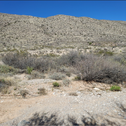
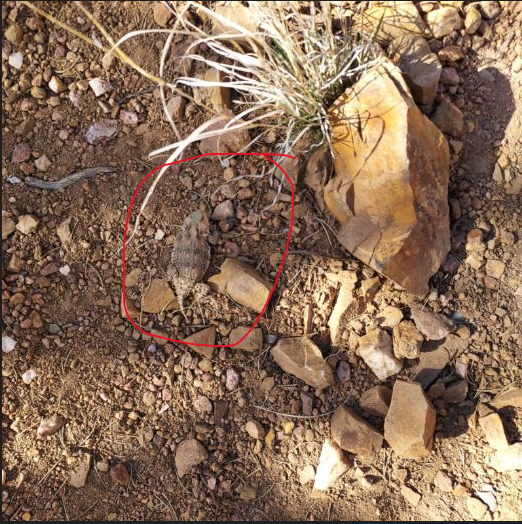
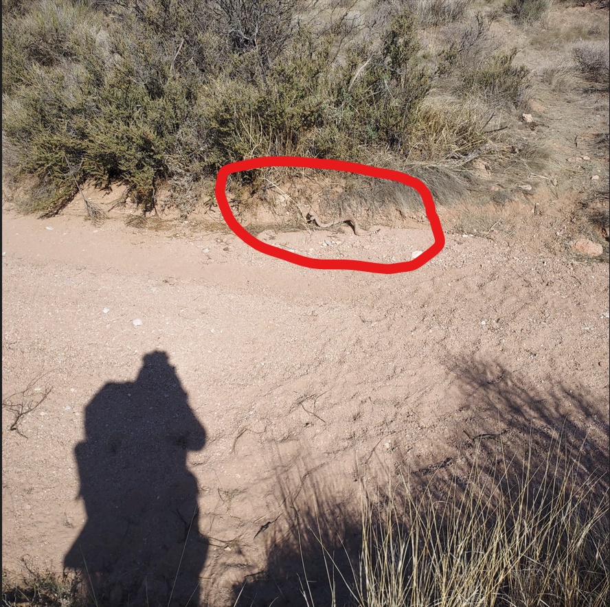
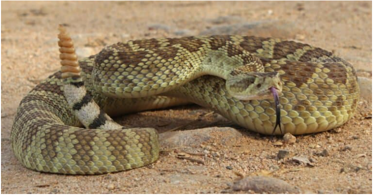
Journal Entry April 12: Mike comes across a venomous Mojave Desert rattlesname snake is directly across from his shadow. Mike had stopped at a CDT water cache box to refill his water supply and decided to rest for a couple of hours. The rattlesnake showed up and didn’t look happy to see Mike there. So Mike decided it was time to move on.
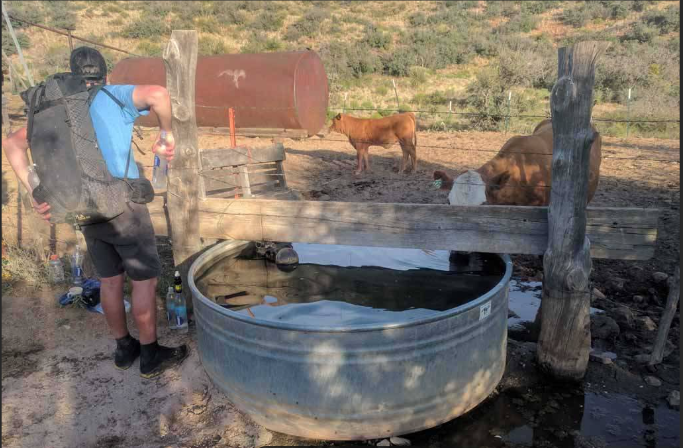
Journal Entry April 11: Mike was able to call home and said he is doing well. No issues with cramping or dehydration. He is consuming two gallons of water per day. The CDT Coalition will provide 2 gallons of water for a fee paid in advance. The water is left in bear boxes at specific locations for the hiker to access once they get to that spot. He also took advantage of a water tank for cows. . The water was somewhat unappealing as it had green algae floating in it, but his Sawyer Squeeze filter allowed him to remove the impurities. He downloaded an app, called FarOUt to his InReach device. This app locates water sources and will direct the hiker to them.
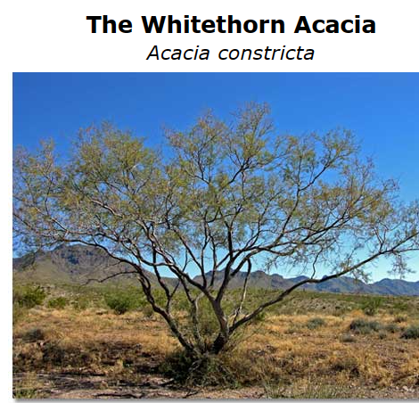
Mike wanted to give a special shout out to Rudy! He wants Rudy to know that the S.O.S. Box Rudy gave to him, came in real handy! Mike stepped on a thorn from a Whitethorn Acacia bush. The thorns are ½ inch long. It went through his hiking shoe and into his foot. He used the multitool from the S.O.S. kit to remove the thorn. His foot seems ok and has had no other mishaps thus far.As far as wildlife on the trail, Mike has not seen any snakes or other wildlife aside from birds, but has seen plenty of cows. However, Mike says the bushes are green but the grasses are brown.Trees are few and far between. The only shade comes from chest high bushes. In order for Mike to obtain respite from the sun, he has to lay under a bush and cover himself with an umbrella. The sun is relentless and the humidity is 12%, so dehydration & heat stroke are a real concern. He drinks water constantly. He is also adding electrolytes to the water. It has been very hot for the past couple of days, so he hasn’t felt like eating much. He is up early and hikes before the sun gets too hot at midday. Then he will rest under a bush at midday, and resume hiking again in the late afternoon. Today was not so hot, so he was able to get in a few extra miles.
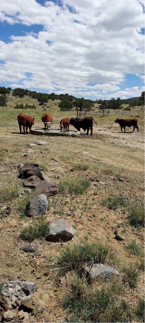
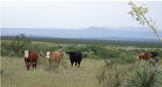
Mike spent the first couple of days hiking with a group of 10 people. The group was mainly comprised of 2 women and 8 men. Two of the men were younger, one was early 20s and the other was mid 30s & traveling with his father. The two women were over 60 and the remaining 4 men were either Mike’s age or older. The father of the 30+ year old man became sick at one of the water caches. He drank down a gallon of water and began vomiting all of it up. He had been drinking plain water since he began the hike on the CDT but wasn’t adding in electrolytes. He was feeling quite ill, so his son called the CDT Coalition who drove out , picked up his father and took him to receive medical treatment. The photo below was taken from the internet, but shows a CDT hiker (not Mike) obtaining water from a livestock tank. Aman from the CDT Coalition handed out cards with his phone number, to each of the hikers, and told them to call him if they need help. On day two, The group wanted to push on, but Mike decided to stay put and camped near a water source for the night. The next day he came upon the two women who were assisting a hiker from France, with bandaging up his blistered feet. He is now hiking alone, but expects within the next two weeks will be passed by more hikers who are just starting the CDT. The CDT shuttle bus will be full the last two weeks of April as more people will be coming to the southern terminus to begin the CDT.

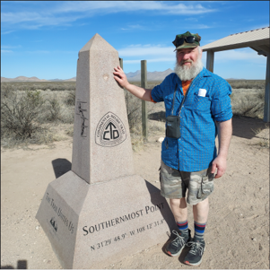
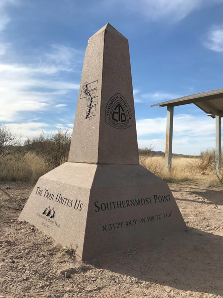
Journal Entry April 9: Mike began his CDT hike today. Below is a picture of the Southern Terminus monument for the CDT trail. Coordinates are along the side of the monument at base. He began the hike at the Mexico border with 10 other hikers (unrelated to Mike’s plans and journey) . Also a dawn photo just before the shuttle arrived (in Lordsburg) to take him (and the others) to the Mexico border/terminus start point. Mike’s hiking plan according to his InReach, he has about 4.5 more miles to go before his first water resupply. He is climbing into the Big Hatchet mountains at this time. Due to the heat and increasing elevation, he is traveling an average of 1.63 mph and at times as much as 3.74 mph. So it’s slow going right now. He has one week to hike approximately 80 miles from the Southern Terminus back to Lordsburg. He was planning on keeping his mileage to around 10 – 15 miles per day for the first week to allow his body to acclimate to the trail.
Journal Entry: March 30th. Mike’s last visit to the club before heading out to New Mexico. Mike finished the last Guiness Stout on hand. (more has been ordered and is now back in stock, if anyone wants to hoist one while he is away)
Journal Entry: March 16, club ad-hoc gathering at the club for a friendly send-off. Many signed a card , a collection was taken, and a few gifts arrived. Mike sent in a warm thankyou card for everyone to read – can be found on the club bar door bulletin board
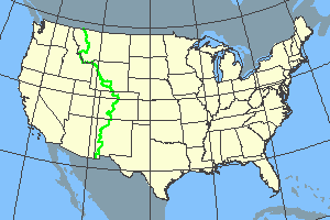
Journal Entry: Just what is the Continental Divide Trail . From Wikipedia: https://en.wikipedia.org/wiki/Continental_Divide_Trail
The Continental Divide National Scenic Trail (in short Continental Divide Trail, CDT) is a United States National Scenic Trail with a length measured by the Continental Divide Trail Coalition of 3,028 miles (4,873 km) between the U.S. border with Chihuahua, Mexico and the border with Alberta, Canada.[1] Frequent route changes and a large number of alternate routes result in an actual hiking distance of 2,700 miles (4,300 km) to 3,150 miles (5,070 km).[2] The CDT follows the Continental Divide of the Americas along the Rocky Mountains and traverses five U.S. states — Montana, Idaho, Wyoming, Colorado, and New Mexico. In Montana near the Canadian border the trail crosses Triple Divide Pass (near Triple Divide Peak, from which waters may flow to either the Arctic Ocean (via Hudson Bay), Atlantic Ocean or Pacific Ocean). The CDT was described in 2013 by a Triple Crown hiker as “Raw, wild, remote and unfinished; it is a trail that will make use of all the skills of an experienced backpacker. It is also a trail that is beautiful, stunning and perhaps the most rewarding of the major long-distance hiking trails.”[2] Distances given are approximate as sections of the trail are uncompleted and the trail is sometimes re-routed. To learn more about the trail: https://continentaldividetrail.org/